

ServicesDrone & PhotographyResearch and wildlife
Data without disturbance.
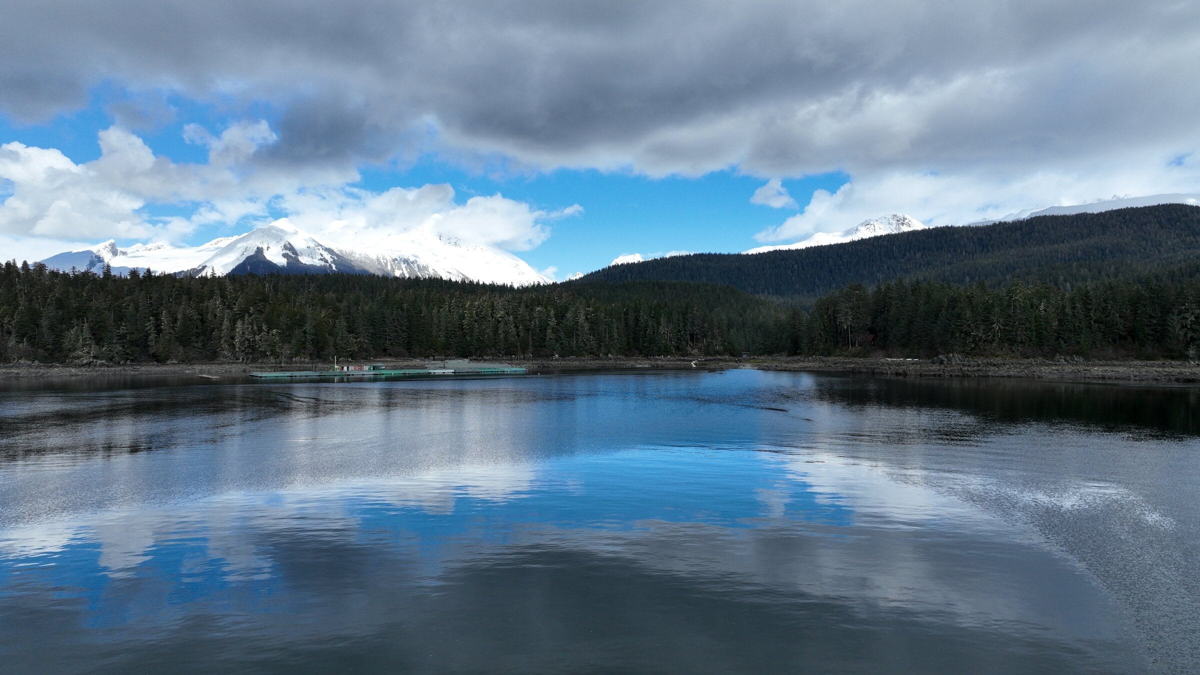
The best way to study a place is sometimes to stay out of it. We give agencies, universities, tribal organizations and nonprofits repeatable overhead records of terrain that’s hard on crews and sensitive to footsteps.
- Repeatableseason after season
- Juneau-basedno mobilization drama
- Part 107authorized and insured
Mission brief
Every research flight starts on paper.
Before anything flies, we write a one-page brief with your team: where, when, how high, under which permits and what comes back. It becomes the plan we repeat every season.
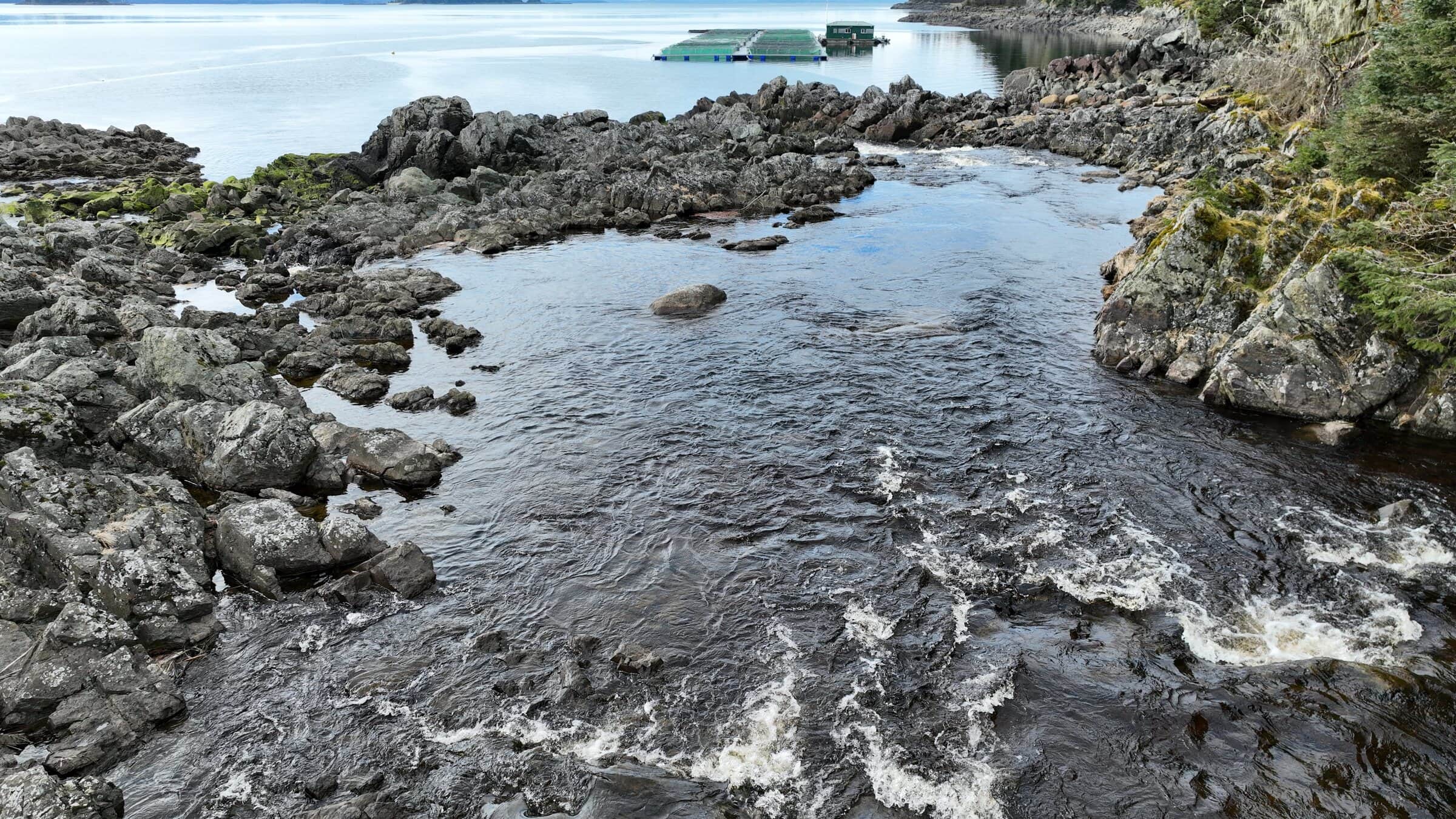
This one is a sample, written for a coastal-change study.
Coastal change studySample brief
- Study area
- A shoreline reach and the stream mouth, mapped from the boundary you send
- Repeat
- Spring and fall, on the same flight plan, so seasons line up
- Timing
- Low tide and calm air, outside the sensitive windows in your protocol
- Height
- The minimum-disturbance height your protocol sets, never lower
- Permits
- Flown under your permits and agency protocols, with your partners
- Deliverables
- Orthomosaic, oblique stills and a short film for outreach
How we support field teams
The imagery, without the trail.
Habitat and vegetation
Repeatable flight plans so this season lines up with last season.
Coastal and waterway monitoring
Erosion, tideland change, stream conditions, and before-and-after records of events.
Site and infrastructure records
Research stations, remote sites and cultural sites, with the right permissions and partners.
Imagery for reports and outreach
The flights that produce data also produce the pictures your publications deserve.

Flown responsibly
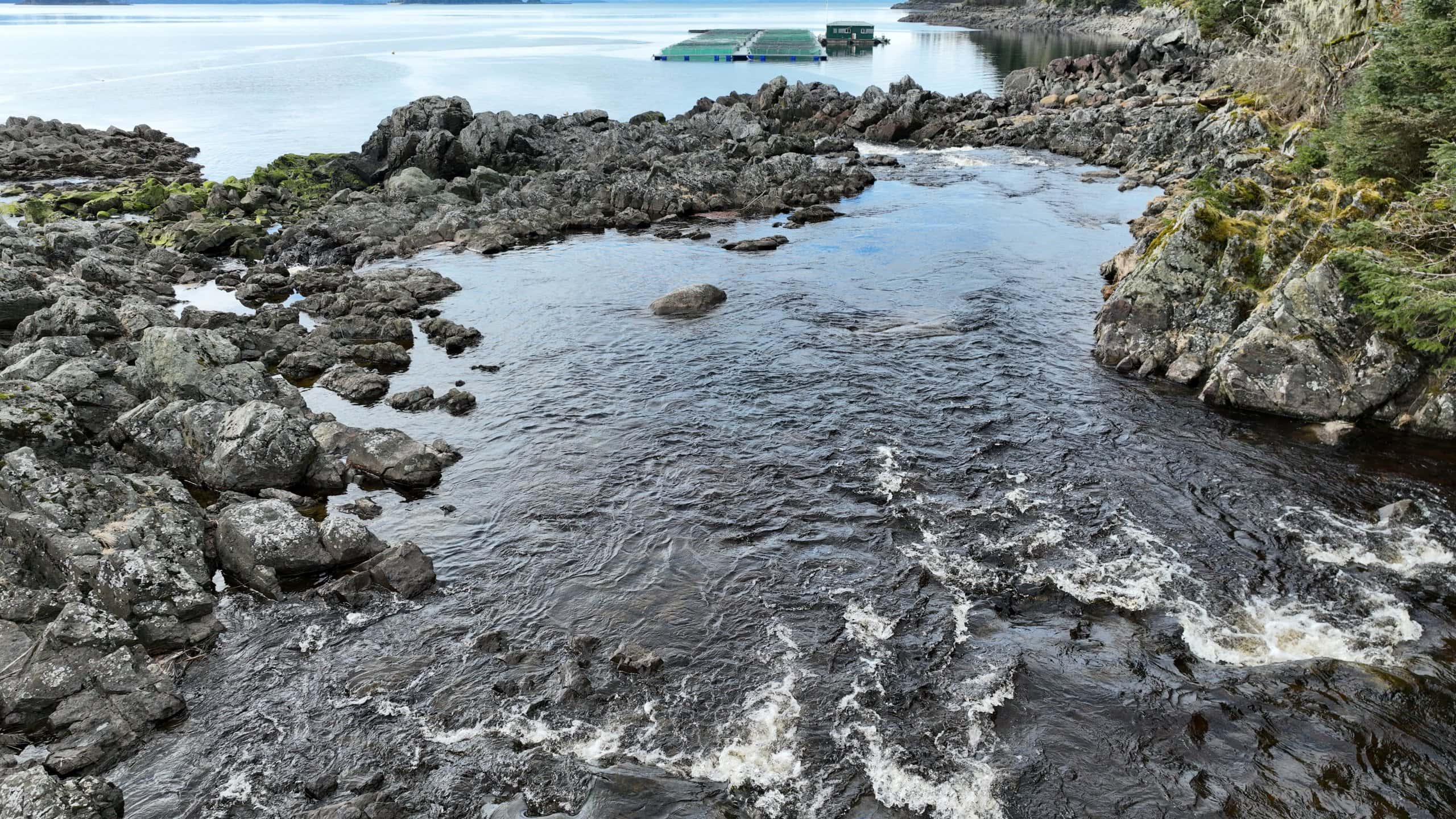
Planned around the animals, not the shot.
We are FAA Part 107 certified, authorized for the airspace and briefed on wildlife-disturbance guidelines. Every mission is planned around minimum-disturbance heights and seasonal sensitivities.
- Comfortable working under permits and agency protocols
- Short, quiet flights with a planned path, not a wander
- Flights logged with time, path and height for your records
- Already in Juneau, so the weather window is easy to catch
Questions
Good questions, straight answers.
Anything else? Call (424) 209-8199 and you’ll talk to the people who do the work.
Can you fly under our permits and protocols?
Yes. We work under agency permits and research protocols, and we write them into the mission brief so every flight follows them.
Will the drone disturb wildlife?
We plan to avoid it: minimum-disturbance heights, seasonal windows, short flights and a set path. If animals react, we back off.
Can you repeat the same flight next season?
Yes. We keep the flight plan and fly the same lines and heights, so seasons and years compare directly.
What data do we get?
Orthomosaic maps, oblique stills, film and the flight records, in the formats your team uses.
Can you document cultural sites?
Yes, with the appropriate permissions and partners, and with care about what is published.
Ready when the weather is
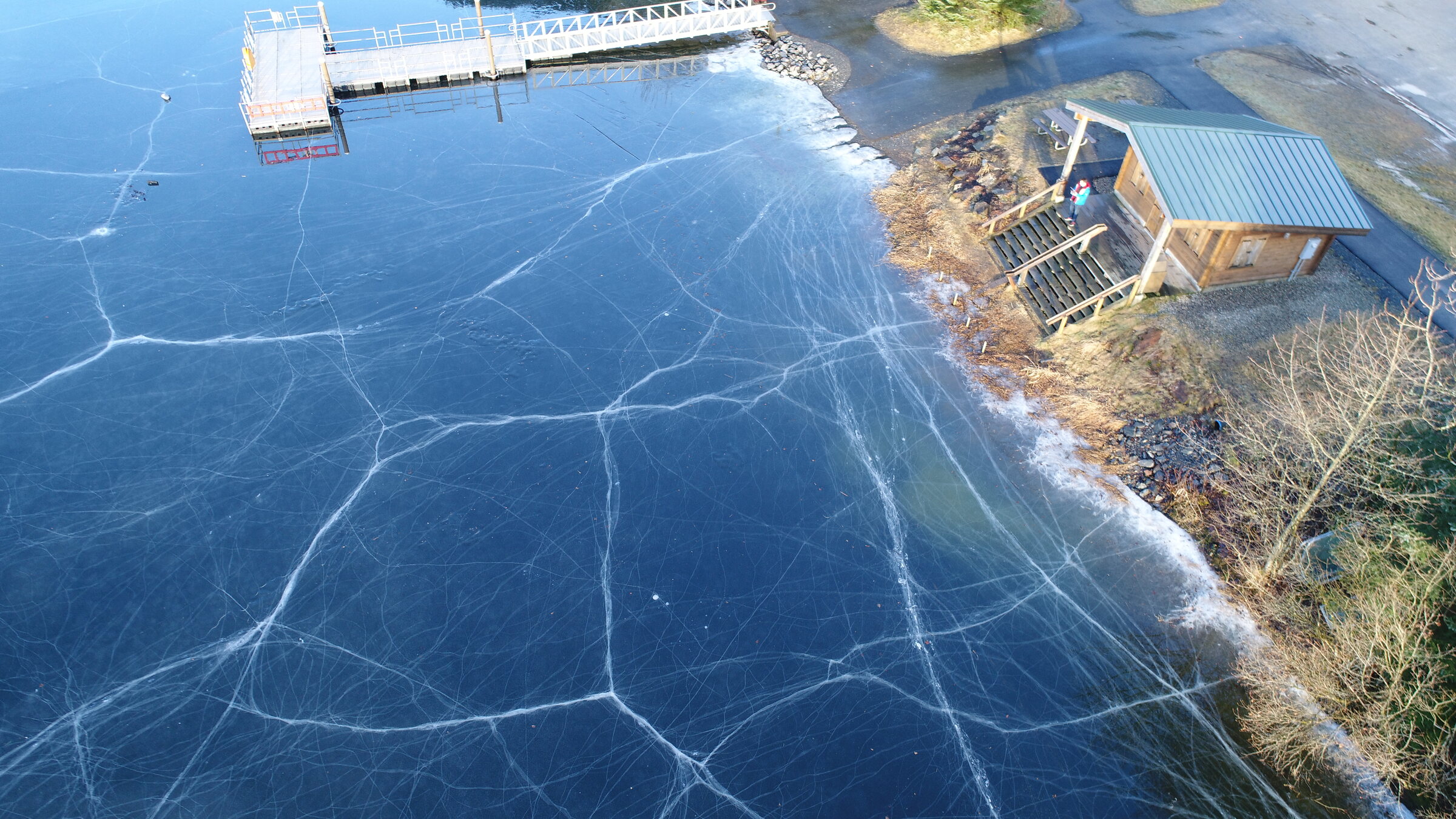
Tell us about the study area.
Send the boundary, the season and your protocols. We’ll draft the mission brief with you.
