

ServicesDrone & PhotographyMapping and survey data
Pictures you can measure.
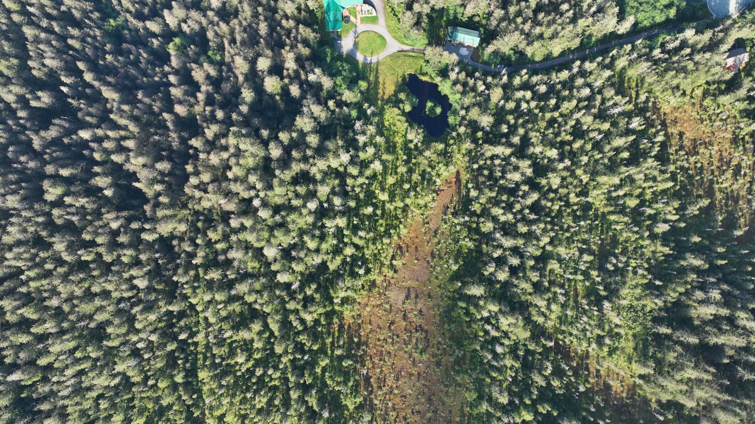
Sometimes the deliverable isn’t a photo, it’s an answer. Drone mapping turns a short flight into one to-scale map your team can measure, compare and archive, without renting a plane or sending anyone onto unstable ground.
- GeoTIFFPDF, JPEG and more
- Same planon every repeat flight
- Part 107certified and insured
What we produce
Data your project team can actually use.
How much of the pad is cleared? What does the parcel look like at the property lines? How has the site changed since March?
Orthomosaic maps
Hundreds of overlapping photos stitched into one seamless, top-down, to-scale map. Zoom from the whole parcel to a single culvert.
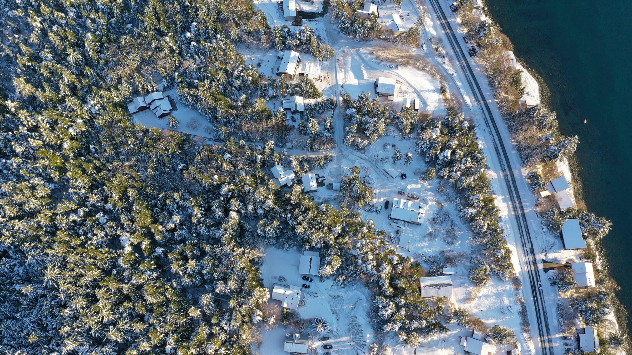
Progress documentation
The same flight plan, flown on schedule, so every set lines up and change is obvious. Made for draw requests and owner updates.
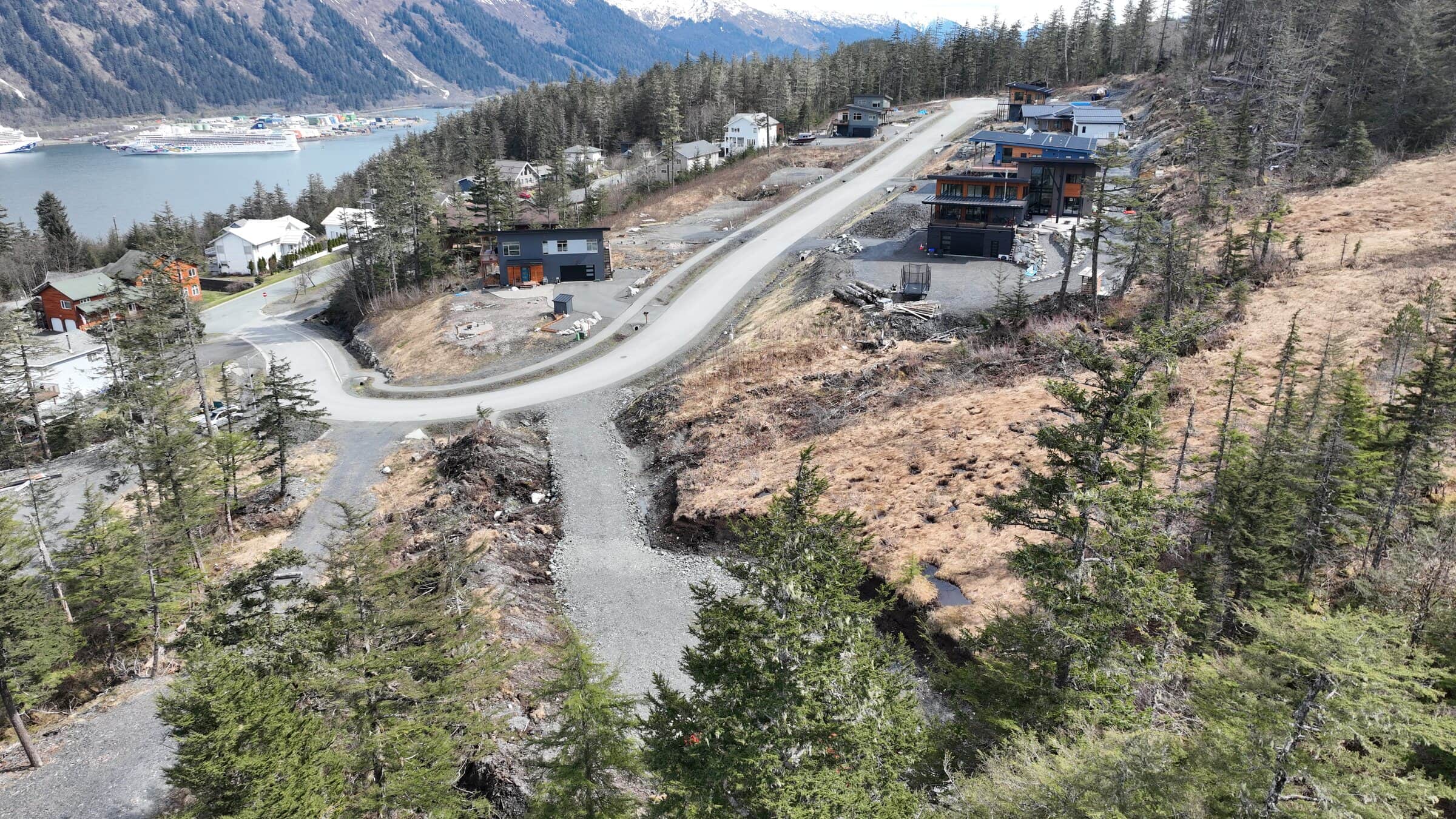
Site and parcel overviews
High-resolution documentation for planning, permitting, listing packages and due diligence.
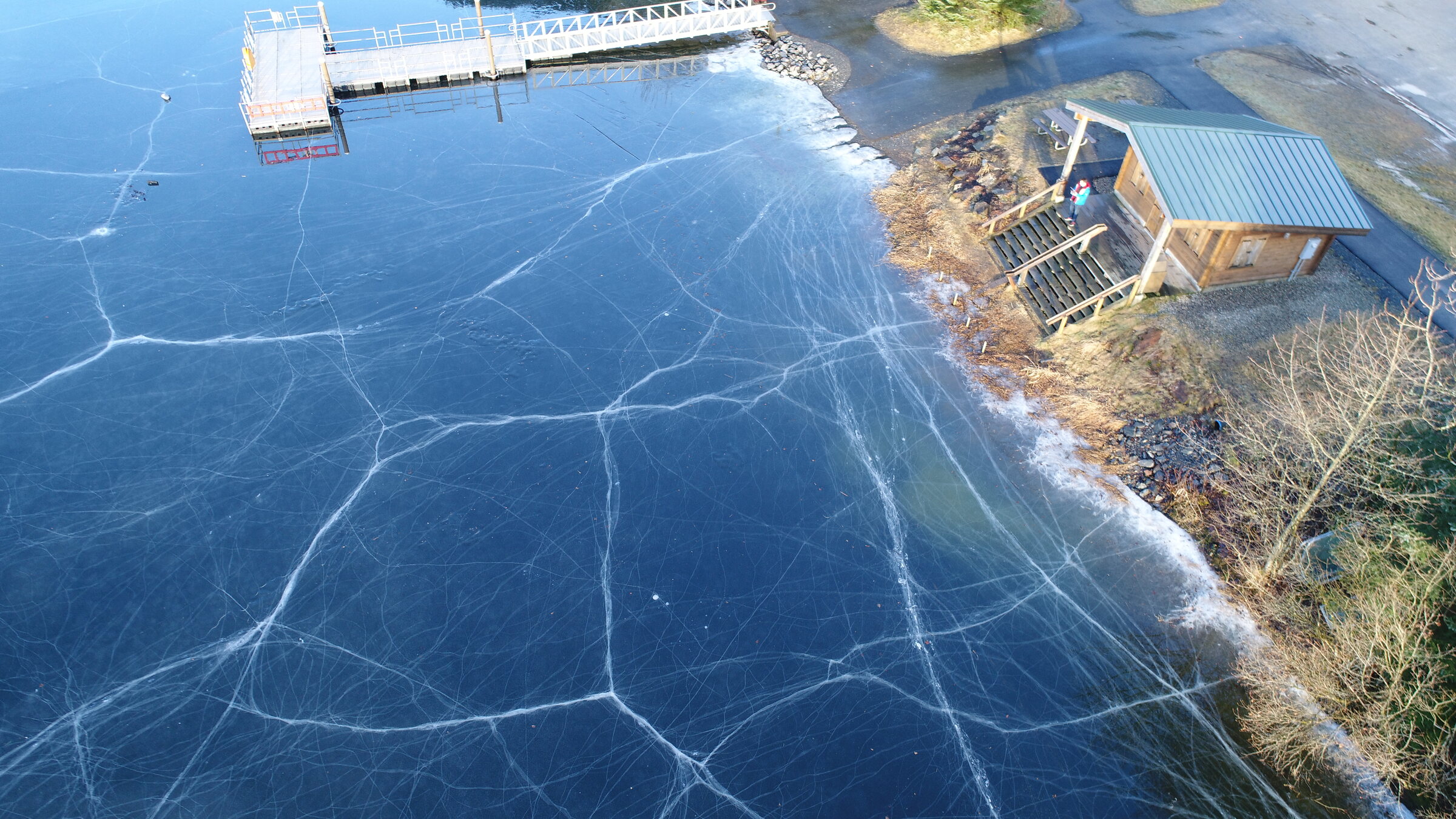
Inspection imagery
Roofs, towers and hard-to-reach structures, captured close without a ladder, a lift or a shutdown.

Formats your team uses
Delivered the way your engineer wants it.
We match what your engineer, architect or lender asks for, and keep every flight on file so next month’s set lines up with this one.
- GeoTIFFFor GIS and CAD
- JPEG and PNGFull resolution
- PDF map sheetsReady to print or attach
- Web viewShareable, zoomable
Plainly: we support surveys and provide measurable imagery. Licensed survey work stays with your licensed surveyor; we make their job, and your documentation, much easier.
How a mapping flight runs
Scoped, planned, flown and processed.
- 1
Scope
You send the boundary, what you need to measure and how often. We confirm the format your team wants.
- 2
Plan the grid
We set the height, overlap and flight lines, and secure any airspace authorization.
- 3
Fly
The aircraft flies the grid; a typical site takes about 20 minutes in the air.
- 4
Process and deliver
We stitch, check and export the map, then file the flight plan so repeats line up.
Questions
Good questions, straight answers.
Anything else? Call (424) 209-8199 and you’ll talk to the people who do the work.
Are you surveyors?
No. We provide measurable imagery and maps. Anything that defines a legal boundary stays with a licensed surveyor, and we’re glad to fly to their specification.
How accurate are the maps?
They are to scale and great for planning, progress and measuring. For survey-grade accuracy, your surveyor sets ground control points and we fly to match.
Can you fly the same site again later?
Yes. We keep the flight plan, so weekly, monthly or milestone flights cover the same ground from the same height and line up.
How big an area can you map?
From a single lot to a large parcel. Send us the boundary and we’ll plan the flights and tell you how many it takes.
Which files will I get?
GeoTIFF for GIS and CAD, full-resolution JPEG or PNG, PDF map sheets and a shareable web view. Tell us what your team uses.
Ready when the weather is
Tell us about the site.
Send the boundary and what you need to know. We’ll come back with a flight plan, the formats and a window.
