

ServicesDrone & PhotographyConstruction and land
Progress you can prove.
Your site changes every week. Scheduled aerial documentation gives builders, owners and lenders one shared view of what’s done, what’s staged and what’s changed. When a question comes up in month eleven, month three is on file.
- Same planso every set lines up
- Ready to attachto draw requests
- No crewson unstable ground
Documentation schedule
How often should we fly?
Pick a schedule and see what a ten-month build looks like from the air. Every flight follows the same plan, so each set lines up with the last.
11 flights on a sample ten-month build
Every week from groundbreaking to the as-built record. Best for fast builds, lenders who want weekly draws and anything that could end up in a dispute.
One flight a month on the same day, plus a before-work record. The most common schedule for owner reports and monthly draw requests.
A flight at the start of each phase. Fewest flights, still a complete record of how the site got from bare ground to finished.
- Stills from fixed angles
- A straight-down site map
- A gallery you can share
Who it’s for
One record, for everyone on the job.
Builders and project managers
- Recurring flights, weekly, monthly or by milestone, on a consistent plan
- Draw-request and owner-report imagery, ready to attach
- A before-work record that protects you before the first excavator arrives
- Shareable galleries for owners, lenders and subs
Surveyors, engineers and land owners
- Orthomosaic base imagery and parcel overviews for planning and fieldwork
- Hard terrain documented without crews on it: muskeg, tideland, steep grade
- Roof, tower and structure inspections without lifts or ladders
- Files in the formats your team already uses
Raw land
Raw land needs context more than anything.
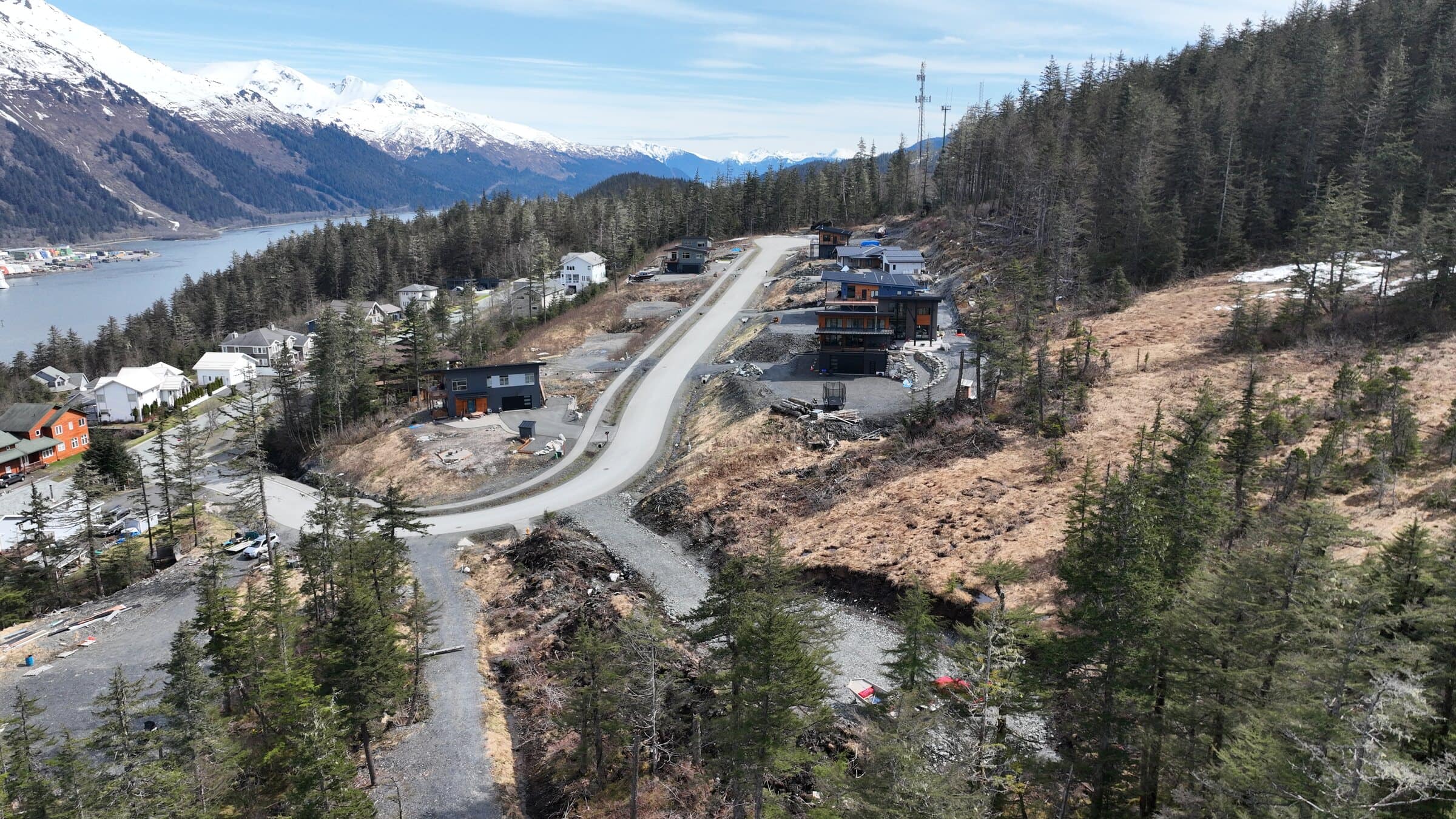
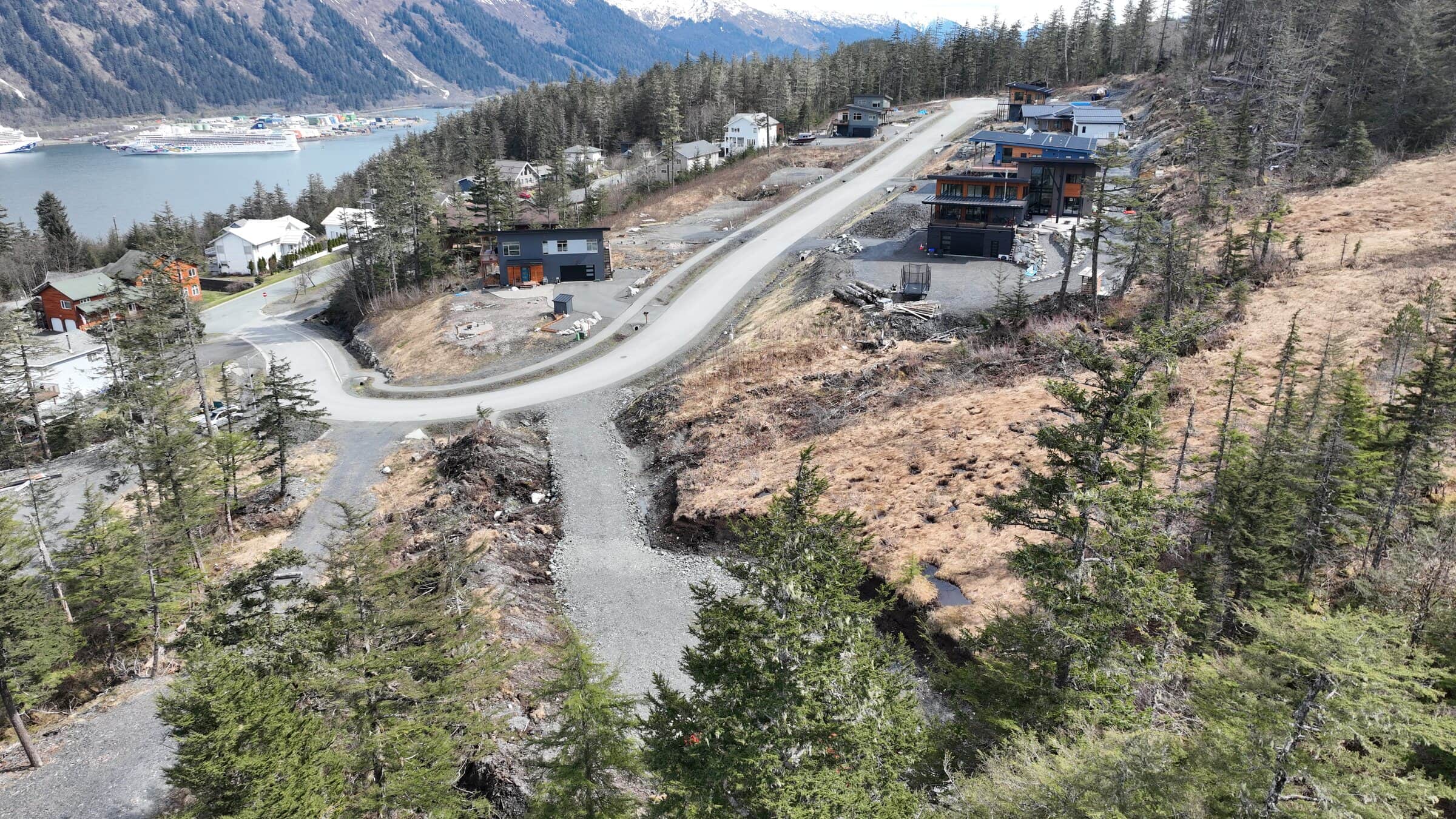
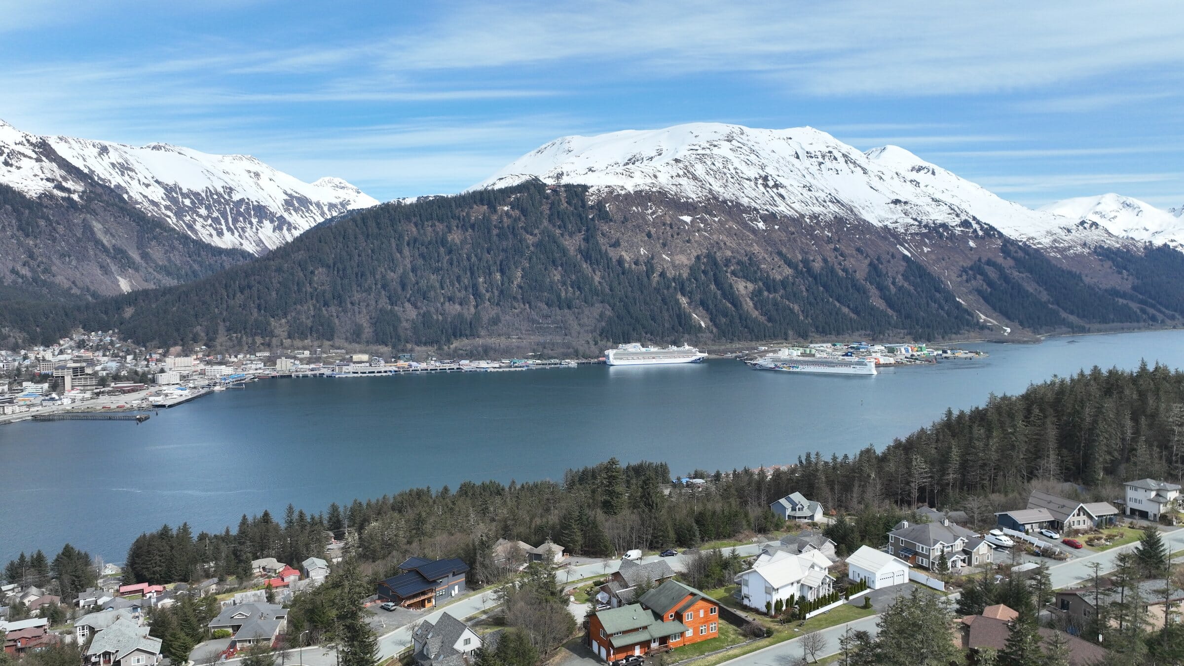
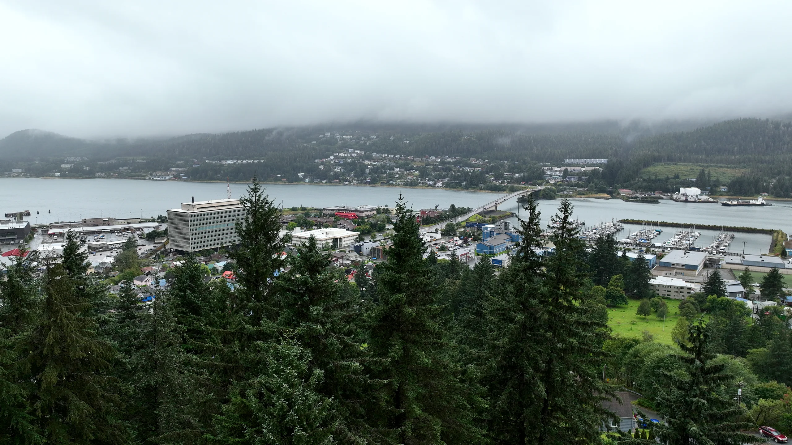
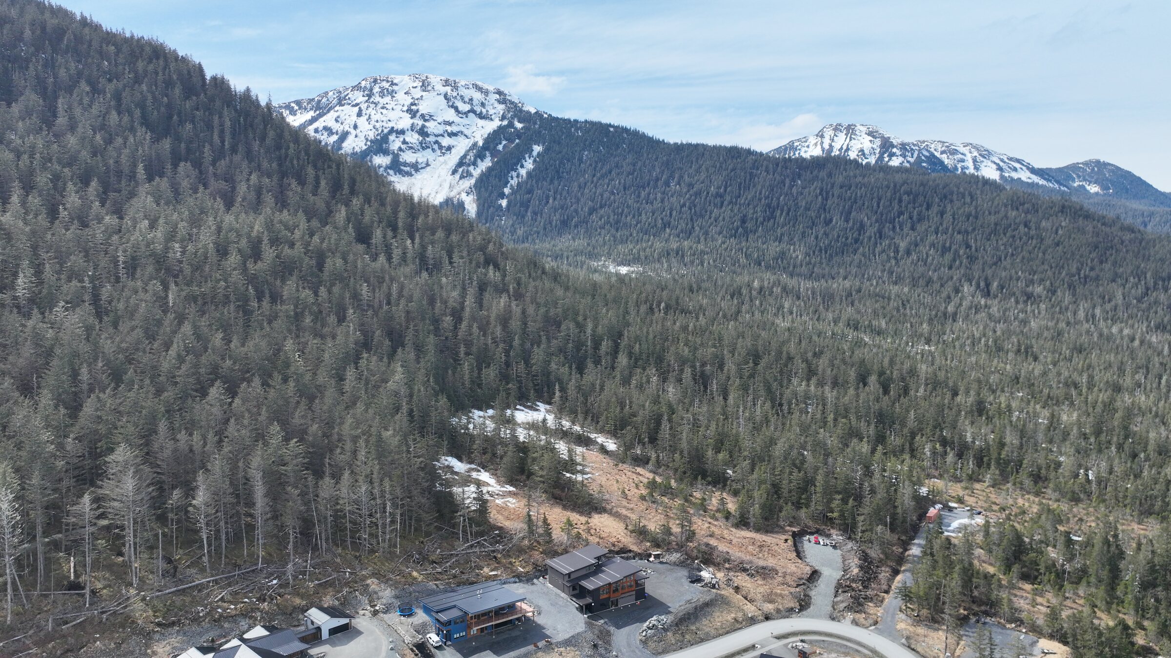
Where the road goes, how big each site is and what you’ll see from the house you build. That was the brief for these new lots on a Douglas Island hillside, flown in spring before the first foundation.
- The road and every building site in one frame
- The view back across the channel to downtown
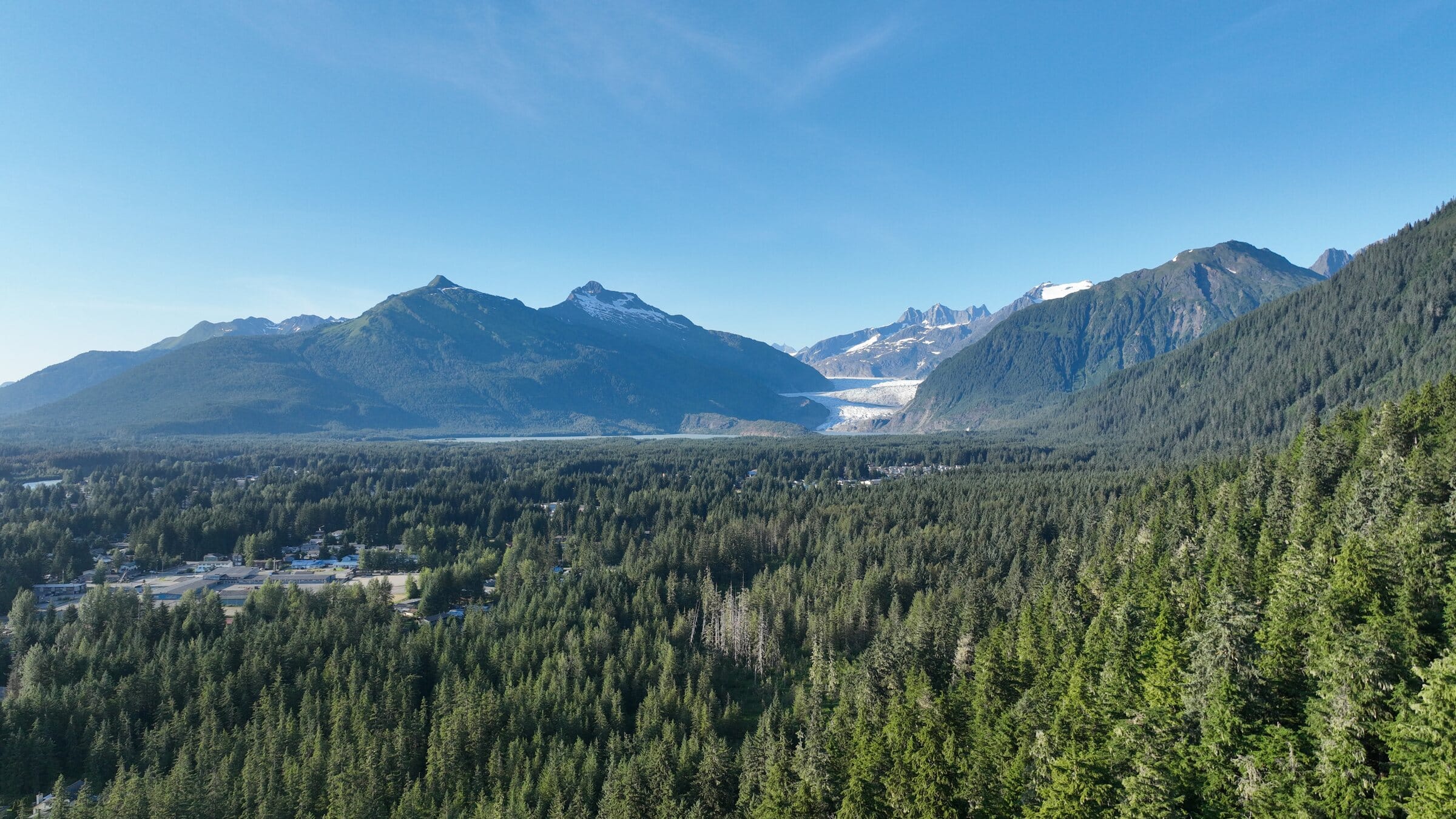
- Film over the sites toward the mountains
Questions
Good questions, straight answers.
Anything else? Call (424) 209-8199 and you’ll talk to the people who do the work.
Will each flight line up with the last?
Yes. We save the flight plan and fly the same lines, heights and angles every time, so you can compare sets side by side.
Can you fly over an active job site?
Yes, with coordination. FAA rules limit flying over people, so we plan flight times and paths with your site lead.
How do owners and lenders see the pictures?
Each flight gets a gallery you can share by link, and the files are sized to attach to reports and draw requests.
Can you document a site before work starts?
Yes, and we recommend it. A before-work record protects everyone if questions come up later about existing conditions.
Are you surveyors?
No. We provide measurable imagery that supports your surveyor; legal boundaries stay with them.
Ready when the weather is
Tell us about the site and the schedule.
Send the location and your build dates. We’ll propose a schedule and fly the before-work record first.
