← Flight log
NORTH DOUGLAS · MAY 2026 · LISTING FLIGHT
North Douglas Shoreline
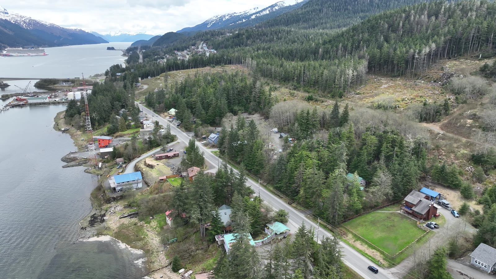
A land listing along North Douglas Highway, flown on a soft spring afternoon to show the parcel against the shoreline, the road and town.
AircraftDJI Mavic 3Hasselblad 4/3" · 20 MP
Sorties1 flightMay 16
On this page3 stills · 1 clipSelected from the full shoot
DeliveredListing setMLS stills + video
The plan
Overcast light is kind to land listings: no harsh shadows, true greens, and the water reads clearly.
The flight path
Scroll the frames. The map follows.
© OpenStreetMap contributors · area shown to ~1 km
- Frame
- —
- Time
- —
- Pos
- —
- Hdg
- —
- Gimbal
- —
- Exp
- —
● VIDEO
A listing flight. Shown with permission; the listing photos were published on the MLS. Positions are rounded to about a kilometer. Selling a property? Book a listing flight →
Next flight · 01
Valley Under Snow →
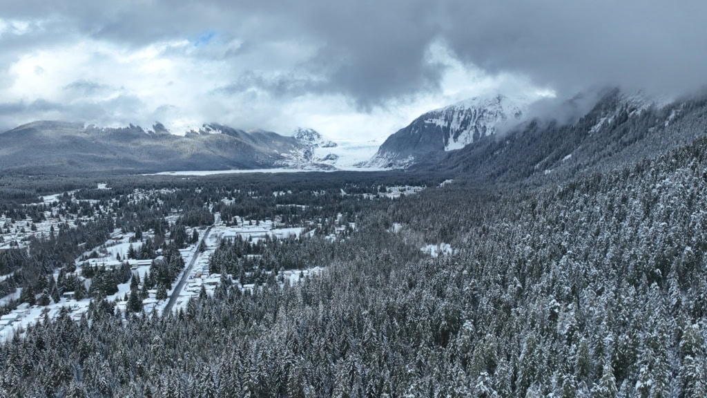
MENDENHALL VALLEY · MAR 2026 · MAVIC 3