MENDENHALL VALLEY · MARCH 2026 · 3 SORTIES
Valley Under Snow
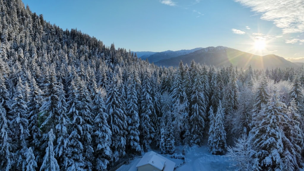
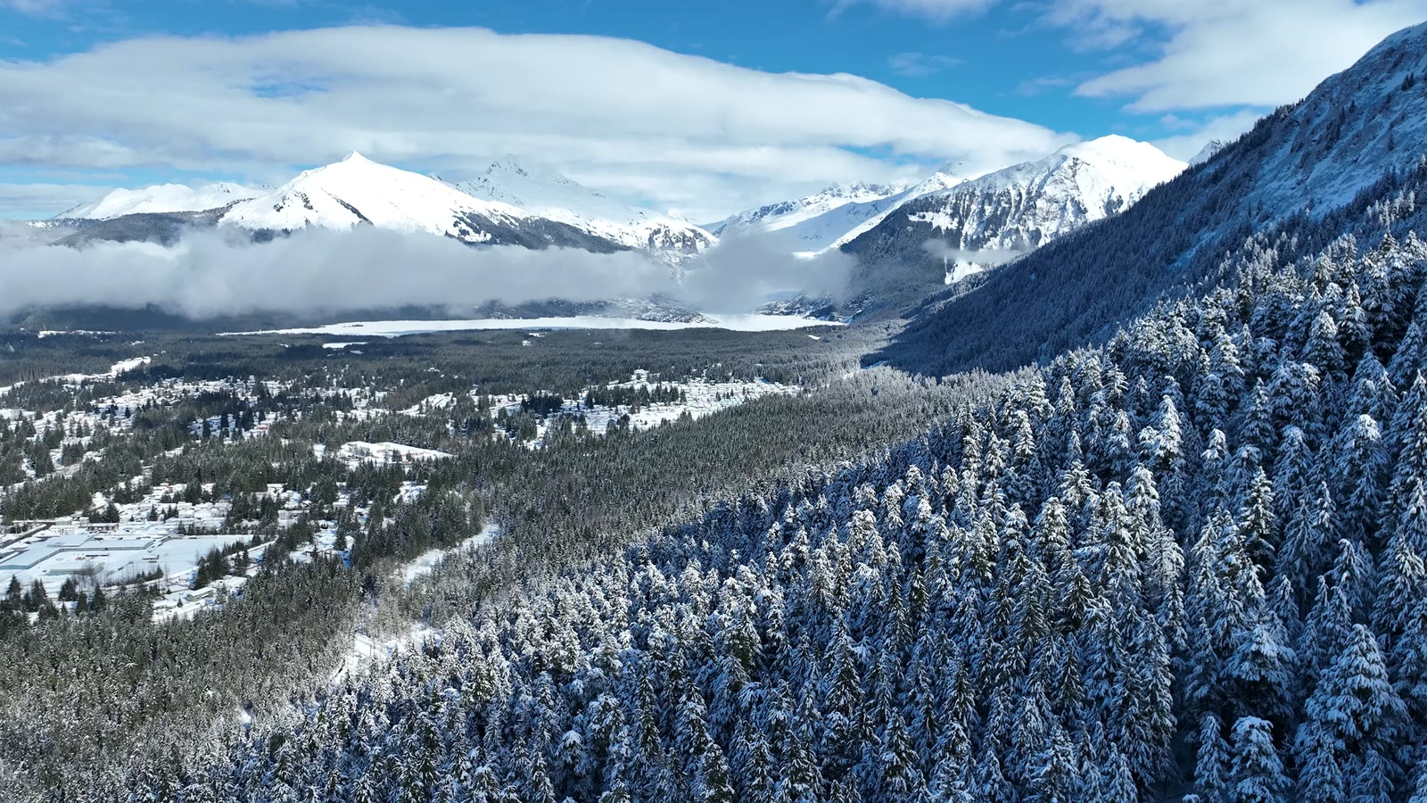
Three flights over two weeks of late-season snow: a storm breaking over the glacier, frost on every spruce, and the valley waking up under it.
The plan
Late-season snow in Juneau rarely lasts, so we flew the same hillside on three mornings in March. Each flight climbed the slope behind the valley, keeping the aircraft low over the treetops while the view opened up behind it to the glacier, the airport and Auke Bay.
Overcast light first, then two bluebird mornings. The point was to show how much the same place changes in a week.
The flight path
Scroll the frames. The map follows.
© OpenStreetMap contributors · cones = camera heading · takeoff area hidden
- Frame
- —
- Time
- —
- Pos
- —
- Hdg
- —
- Gimbal
- —
- Height
- —
- Exp
- —
Height is above the ground directly below, estimated from the takeoff point and USGS 3DEP terrain — not the aircraft's altimeter, which reads from takeoff. Shown only where the estimate is 400 ft or less.
Next flight · 02
Winter Solstice Light →
MENDENHALL VALLEY · DEC 2025 · MAVIC 3