← Flight log
MENDENHALL VALLEY · AUGUST 2026
Mendenhall Evening
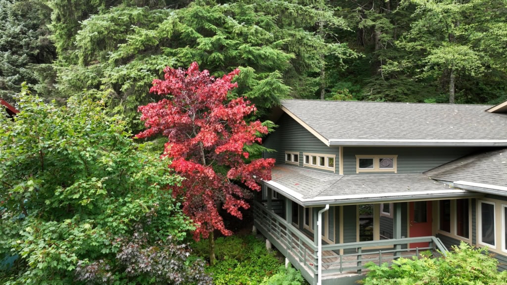
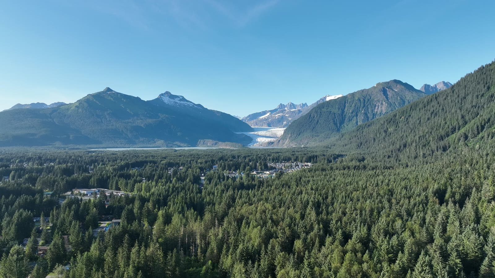
One long, slow flight on a clear August evening, from the neighborhood out over the forest toward the glacier and back.
AircraftDJI Mavic 3Hasselblad 4/3" · 20 MP
Sorties1 flightAug 13
On this page4 stills · 1 clipSelected from the full shoot
CapturedStills + 4K videoGraded in-house
The plan
A seven-minute single take. Long continuous shots like this are what we cut listing tours and promo films from.
The flight path
Scroll the frames. The map follows.
© OpenStreetMap contributors · cones = camera heading · takeoff area hidden
- Frame
- —
- Time
- —
- Pos
- —
- Hdg
- —
- Gimbal
- —
- Height
- —
- Exp
- —
Height is above the ground directly below, estimated from the takeoff point and USGS 3DEP terrain — not the aircraft's altimeter, which reads from takeoff. Shown only where the estimate is 400 ft or less.
● VIDEO
Next flight · 05
Evergreen: Hillside Home →
DOWNTOWN JUNEAU · SEP 2026 · MAVIC 3