← Flight log
DOWNTOWN JUNEAU · SEPTEMBER 2026
Evergreen: Hillside Home
Exterior and aerial photography for a hillside rental above downtown Juneau, shot for its booking site in the same week as the interior photography and video tour.
AircraftDJI Mavic 3Hasselblad 4/3" · 20 MP
Sorties1 flightSep 16
On this page5 stills · 1 clipSelected from the full shoot
Height above groundUp to ≈101 ftEstimated from USGS terrain
The plan
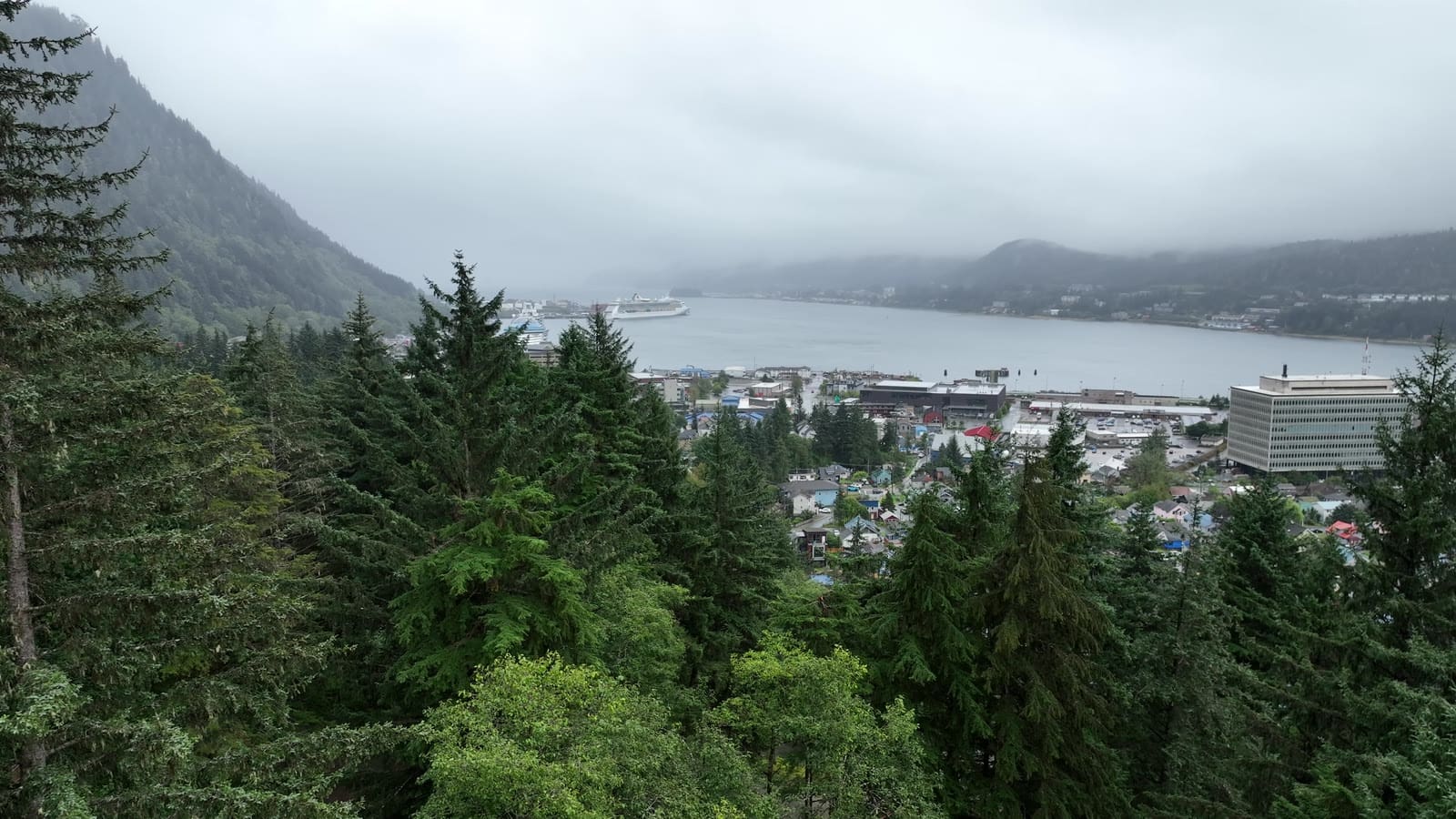
A steep, wooded lot means the house is hard to see from the street. From the air it reads clearly: the house, the garden, and the view down over downtown and Gastineau Channel.
The flight path
Scroll the frames. The map follows.
© OpenStreetMap contributors · area shown to ~1 km
- Frame
- —
- Time
- —
- Pos
- —
- Hdg
- —
- Gimbal
- —
- Height
- —
- Exp
- —
Height is above the ground directly below, estimated from the takeoff point and USGS 3DEP terrain — not the aircraft's altimeter, which reads from takeoff. Shown only where the estimate is 400 ft or less.
● VIDEO
Next flight · 06
Amalga Harbor Tides →
AMALGA HARBOR · APR 2022 · MAVIC 3