DOUGLAS ISLAND · SEPTEMBER 2023 · LISTING FLIGHT
Hilltop Above the Channel
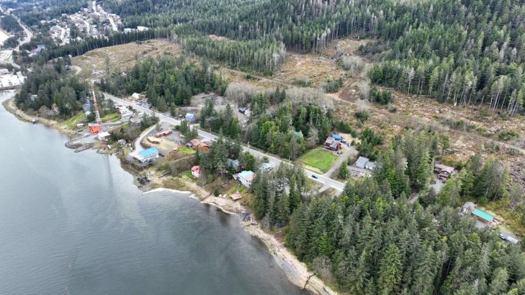
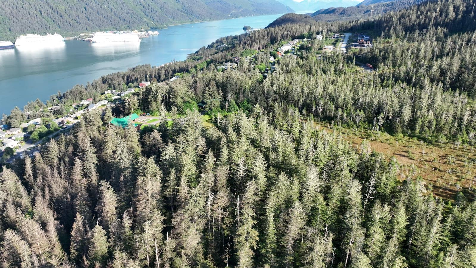
A large wooded property at the top of the hill, with a cedar house and a view straight down onto Gastineau Channel and the cruise ships.
The plan
The house is buried in trees, so the aerials had one job: show how much land comes with it and where it sits above town.
The flight path
Scroll the frames. The map follows.
© OpenStreetMap contributors · area shown to ~1 km
- Frame
- —
- Time
- —
- Pos
- —
- Hdg
- —
- Gimbal
- —
- Height
- —
- Exp
- —
Height is above the ground directly below, estimated from the takeoff point and USGS 3DEP terrain — not the aircraft's altimeter, which reads from takeoff. Shown only where the estimate is 400 ft or less.
A listing flight. Shown with permission; the listing photos were published on the MLS. Positions are rounded to about a kilometer. Selling a property? Book a listing flight →
Next flight · 15
North Douglas Shoreline →
NORTH DOUGLAS · MAY 2026 · MAVIC 3