MENDENHALL VALLEY · AUGUST 2023
Glacier Valley, Late Summer
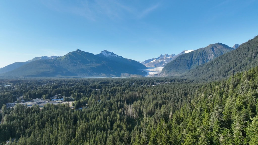
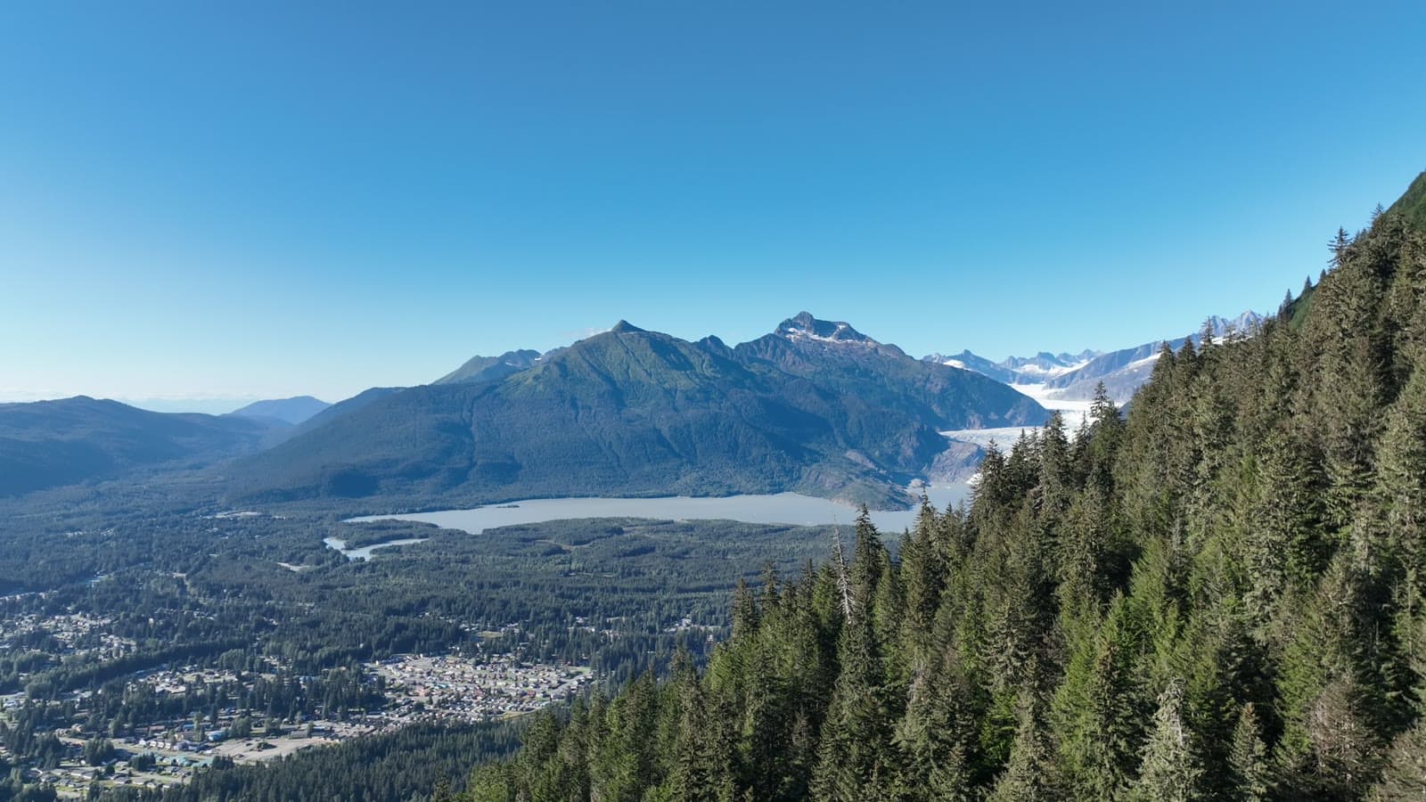
An evening climb up the side of the valley until the whole Mendenhall system lined up: the glacier, the lake, the neighborhoods and the channel out to the islands.
The plan
We followed the mountainside up rather than climbing straight off the takeoff spot, so the aircraft stayed close to the trees the whole way while the valley dropped away beside it. That is how the frames get the slope in the foreground and the glacier in the distance.
The flight path
Scroll the frames. The map follows.
© OpenStreetMap contributors · cones = camera heading · takeoff area hidden
- Frame
- —
- Time
- —
- Pos
- —
- Hdg
- —
- Gimbal
- —
- Height
- —
- Exp
- —
Height is above the ground directly below, estimated from the takeoff point and USGS 3DEP terrain — not the aircraft's altimeter, which reads from takeoff. Shown only where the estimate is 400 ft or less.
Next flight · 04
Mendenhall Evening →
MENDENHALL VALLEY · AUG 2026 · MAVIC 3