← Flight log
AMALGA HARBOR · APRIL 2022
Amalga Harbor Tides
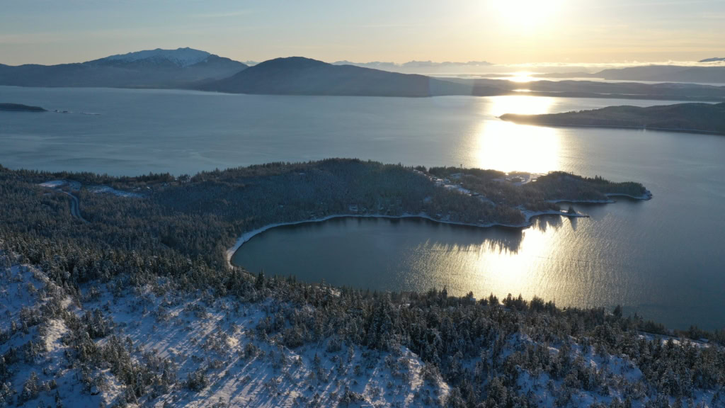
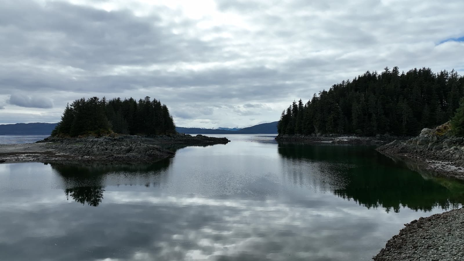
A gray spring afternoon at low tide, flown inches off the rocks and over water so still the islands doubled.
AircraftDJI Mavic 3Hasselblad 4/3" · 20 MP
Sorties1 flightApr 9
On this page5 stills · 2 clipsSelected from the full shoot
Height above groundUp to ≈22 ftEstimated from USGS terrain
The plan
Flat light suits reflections. We flew low over the tide pools and then out over the harbor while the wind stayed down.
The flight path
Scroll the frames. The map follows.
© OpenStreetMap contributors · cones = camera heading · takeoff area hidden
- Frame
- —
- Time
- —
- Pos
- —
- Hdg
- —
- Gimbal
- —
- Height
- —
- Exp
- —
Height is above the ground directly below, estimated from the takeoff point and USGS 3DEP terrain — not the aircraft's altimeter, which reads from takeoff. Shown only where the estimate is 400 ft or less.
● VIDEO
● VIDEO
Next flight · 07
Auke Bay, Winter Sunset →
AUKE BAY · FEB 2019 · MAVIC 2 PRO