GLACIER HIGHWAY, OUT THE ROAD · MAY 2026 · LISTING FLIGHT
Waterfront on the Bluff
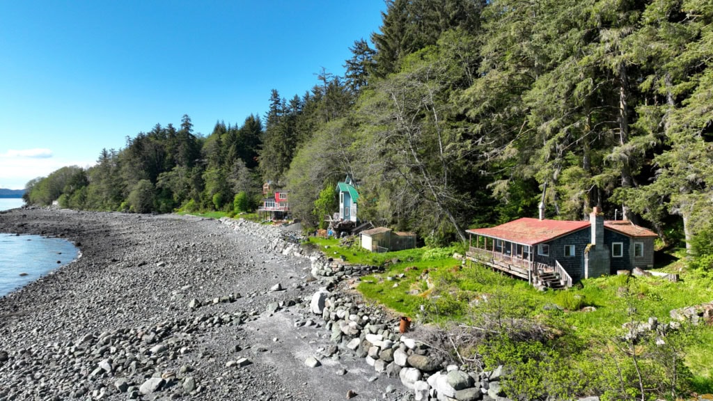
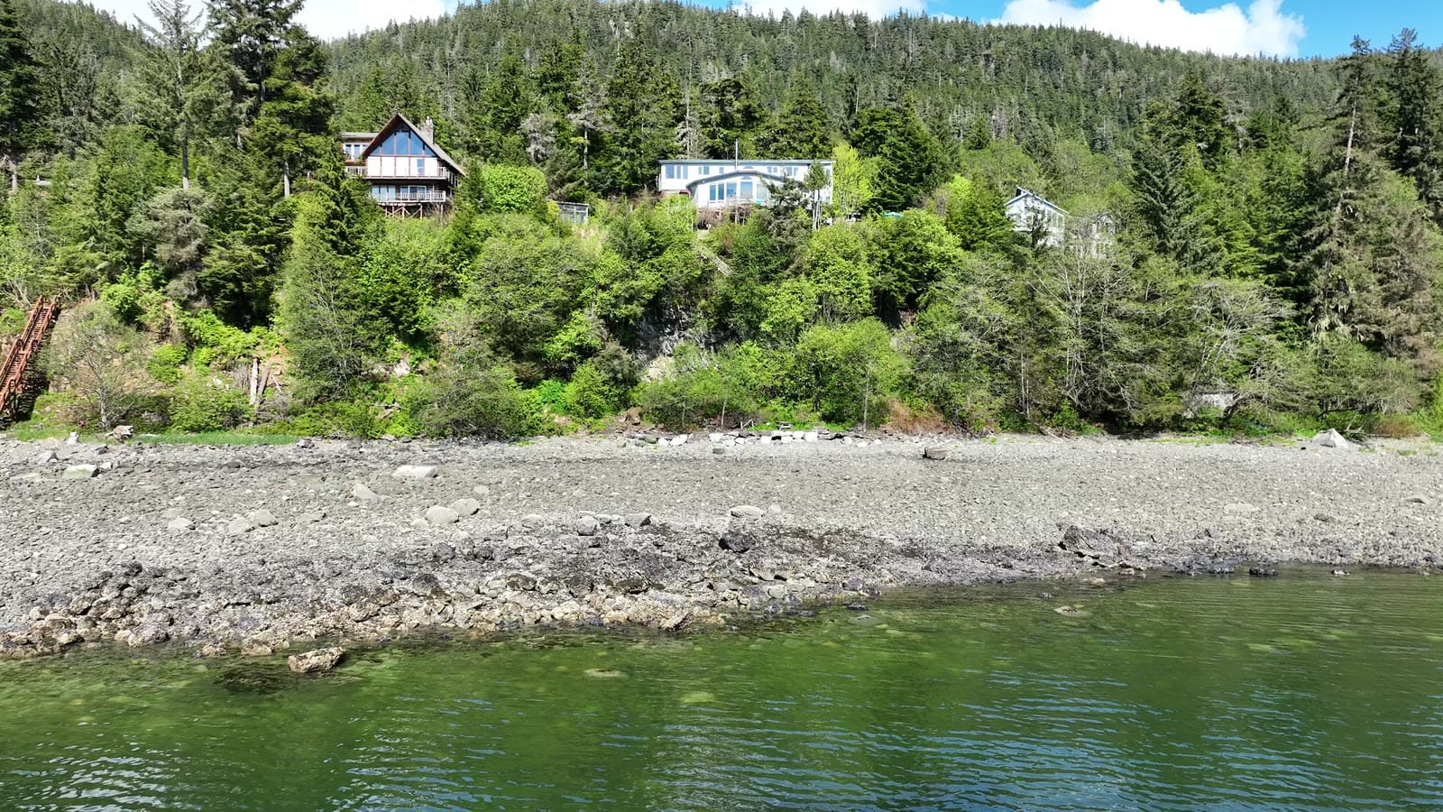
A sunroom house perched above the beach, photographed from the water side so buyers could see what the windows look at.
The plan
The best view of this house is from the water, so we flew out over the beach and turned back, then came in close for the decks and sunroom.
The flight path
Scroll the frames. The map follows.
© OpenStreetMap contributors · area shown to ~1 km
- Frame
- —
- Time
- —
- Pos
- —
- Hdg
- —
- Gimbal
- —
- Height
- —
- Exp
- —
Height is above the ground directly below, estimated from the takeoff point and USGS 3DEP terrain — not the aircraft's altimeter, which reads from takeoff. Shown only where the estimate is 400 ft or less.
A listing flight. Shown with permission; the listing photos were published on the MLS. Positions are rounded to about a kilometer. Selling a property? Book a listing flight →
Next flight · 11
Cabin at Lena Point →
LENA POINT · MAY 2026 · MAVIC 3