GLACIER HIGHWAY, OUT THE ROAD · JULY 2023 · LISTING FLIGHT
Red Deck on the Beach
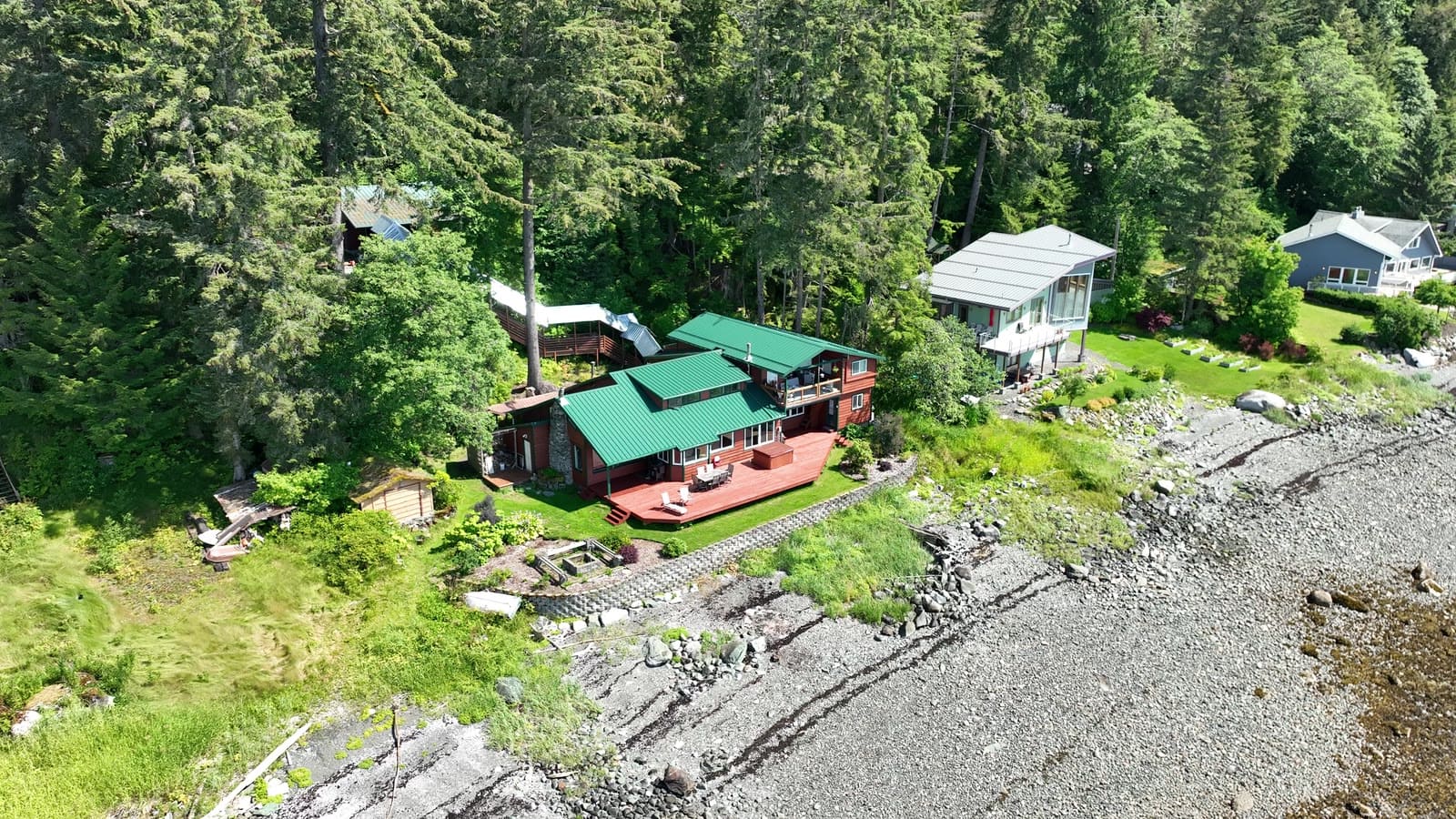
A green-roofed beach house with a big red deck, shot on a bright July day for its listing.
The plan
Bright midday sun is hard on houses, so we worked the angles that kept the light behind us and used the water and the deck color to carry the frames.
The flight path
Scroll the frames. The map follows.
© OpenStreetMap contributors · area shown to ~1 km
- Frame
- —
- Time
- —
- Pos
- —
- Hdg
- —
- Gimbal
- —
- Height
- —
- Exp
- —
Height is above the ground directly below, estimated from the takeoff point and USGS 3DEP terrain — not the aircraft's altimeter, which reads from takeoff. Shown only where the estimate is 400 ft or less.
A listing flight. Shown with permission; the listing photos were published on the MLS. Positions are rounded to about a kilometer. Selling a property? Book a listing flight →
Next flight · 13
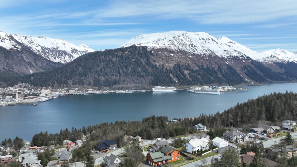
Hillside Lots, Channel View →
DOUGLAS ISLAND · MAY 2023 · MAVIC 3