← Flight log
TWIN LAKES · JANUARY 2018
Black Ice
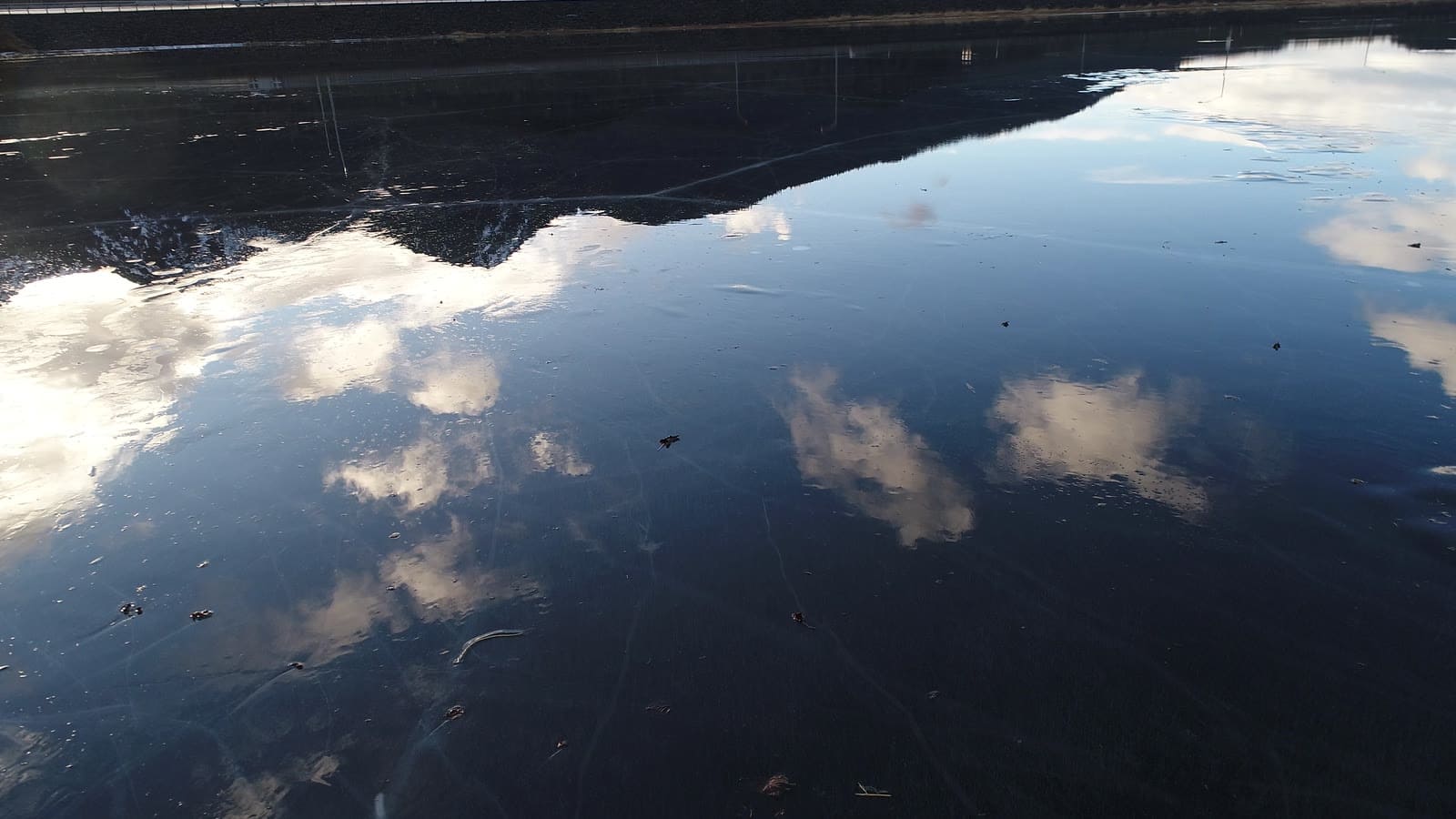
Clear black ice on Twin Lakes in January, cracked into a pattern that only makes sense from above.
AircraftDJI Inspire 2Zenmuse X4S 1" · 20 MP
Sorties1 flightJan 16
On this page5 stills · 3 clipsSelected from the full shoot
Height above groundUp to ≈120 ftEstimated from USGS terrain
The plan
Flown with the Inspire 2 and its X4S camera. A polarized look straight down turns the crack lines into a map.
The flight path
Scroll the frames. The map follows.
© OpenStreetMap contributors · cones = camera heading · takeoff area hidden
- Frame
- —
- Time
- —
- Pos
- —
- Hdg
- —
- Gimbal
- —
- Height
- —
- Exp
- —
Height is above the ground directly below, estimated from the takeoff point and USGS 3DEP terrain — not the aircraft's altimeter, which reads from takeoff. Shown only where the estimate is 400 ft or less.
● VIDEO
● VIDEO
● VIDEO
Next flight · 09
Out-the-Road Homestead →
GLACIER HIGHWAY, OUT THE ROAD · AUG 2026 · MAVIC 3